RegLab: Using Innovative Technology to Provide Greater Transparency in Factory Farming
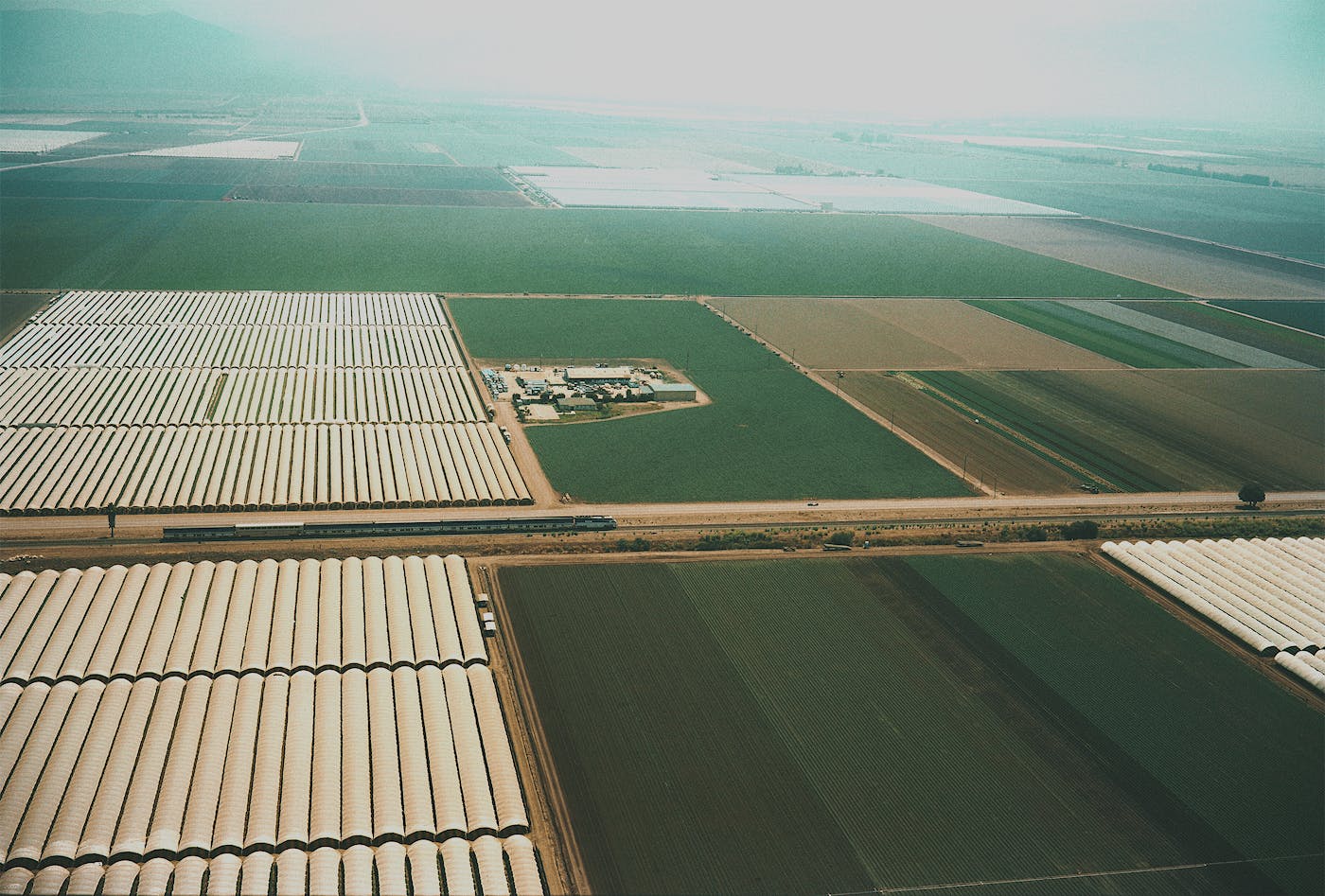
Stanford University's RegLab is leveraging machine learning to identify large, industrial farm polluters that raise livestock for meat, dairy, and eggs in concentrated animal feeding operations known as CAFOs.
CAFOs raise and feed livestock by confining them in closed buildings or feedlots that produce massive amounts - by one estimate, 500 million tons - of untreated animal waste, annually.
Over 165 gases are emitted from CAFO waste, according to the Sierra Club, including hazardous chemicals such as ammonia, hydrogen sulfide, and methane. Airborne particulate matter is found near CAFOs and can carry disease-causing bacteria, fungus, or other pathogens.
For decades, the government and environmental advocates have been trying to get even basic information from CAFOs and their practices – with limited and hard-won success.
According to the Government Accountability Office (GAO), the Environmental Protection Agency (EPA) lacks information about these CAFOs’ size, number, and locations. To help fill the gap, environmental advocates have amassed an effort to gather data about these facilities, but their manual and technological tools haven’t been fast enough to keep up, leaving them with out-of-date information and inevitable setbacks.
The Regulation, Evaluation, and Governance Lab (RegLab) at Stanford University is working to change that.
“It can take regulators and advocates months, even years, to identify CAFO locations. RegLab has been able to cut down the process to just a couple of days.”
— Professor Daniel E. Ho
Launched in 2018 by Professor Daniel E. Ho, this multi-disciplinary team of data and social scientists, legal scholars, and engineers are pioneering how artificial intelligence and high-resolution satellite imagery can modernize environmental regulations.
“We can’t even begin to think about understanding the nature of the problem if we only know about a subset of where these [polluting] facilities are located,” said Professor Ho.
“What we’d like to see is greater transparency about how livestock farming operates in the U.S. and to deliver the kinds of tools that make it possible to easily understand the landscape, and monitor and enforce the law when there are violations.”
It can take regulators and advocates months, even years, to identify CAFO locations. RegLab has been able to cut down the process to just a couple of days, a massive leap in efficiency. In work published in Nature Sustainability, RegLab was able to use computer vision and satellite imagery to capture 95 percent of existing CAFOs in North Carolina while using fewer than 10 percent of the resources required for a manual count. In the end, they were able to identify 15 percent more CAFOs than previously spotted in the state.
Building on this work, RegLab is working towards real-time maps of CAFOs and new tools that may help identify factory farm polluters in the act. These insights can enhance government monitoring, help regulators and advocates gain a better understanding of the landscape, and ensure environmental compliance, said Professor Ho.
“One of the core missions of our lab is to really figure out the socially important ways to deploy this technology, where it can benefit a far, far greater number of people.”